RTK corrections in Czechia
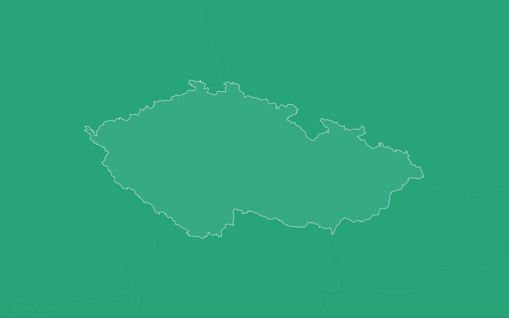
RTK Premium delivers network RTK corrections in Czechia in ETRS89 (ETRF2000, epoch 2010.0) over standard NTRIP. In a fixed solution it reaches under 1.5 cm horizontally and 2.5 cm vertically. The coverage map shows networks over the whole of Czechia. A 14-day free trial comes first.
RTK Premium in Czechia
| Coverage | The coverage map shows networks over the whole of Czechia; check your site for 1 network or 2+ networks |
|---|---|
| Frame | ETRS89 (ETRF2000, epoch 2010.0), ellipsoidal heights |
| Accuracy | Under 1.5 cm horizontal, 2.5 cm vertical, in a fixed solution |
| Service level | 99.9% monthly availability for RTK Premium where the coverage map shows an Eligible Area |
| Trial | 14 days on your own receiver; your account arrives by email within two working hours |
| Price | Priced per device and term. Request pricing |
| Support | Business days, 09:00 to 23:00 Czech time |
| Stream | RTCM 3.x over NTRIP; caster rtkpremium.xyz, port 2101, mountpoint COMMON |
Check it before you commit
Setup guides
More than 100 step-by-step guides cover receivers, controllers, drones and machine control.
Test it yourself
RTKTEST.com compares up to three correction services against a surveyed point in one 15-minute session, and the 14-day trial runs on your own receiver at your own sites.
Correction services in Czechia
Czech crews choose between the national mapping agency's network, commercial network RTK, crowd-sourced base stations, satellite-delivered corrections and their own base.
| Type | Typical operator | What to check |
|---|---|---|
| National reference network | The national mapping agency, for registered users at published tariffs. | Coverage near your sites, the tariff for your use, whether an availability commitment is published, and support hours. |
| Commercial network RTK | A private provider with stations across Czechia and beyond. | How many correction sources serve your area, the published service level and its remedy, the term, and whether a trial is offered. |
| Crowd-sourced network | Independent owners hosting single base stations. | Distance to the nearest base, station uptime, and how each base was surveyed. |
| Satellite or state-space (PPP-RTK, SSR) | A provider broadcasting an error model without a local base. | Convergence time, accuracy and vertical performance. |
| Your own base | Your crew, on a surveyed point. | The survey of the base point, range, and the time spent setting it up and guarding it. |
Coordinates and heights
RTK Premium delivers ETRS89 (ETRF2000, epoch 2010.0), with ellipsoidal heights. Czech cadastral and map data use S-JTSK on the Křovák projection, with heights in the Baltic Vertical System after Adjustment (Bpv), so convert in your controller or office software: to S-JTSK through a transformation the national mapping agency approves, which applies its correction tables, and to Bpv heights through its CR2005 height model. A simple parameter transformation between S-JTSK and ETRS89 can be out by decimetres or more. Official Czech ETRS89 coordinates use the ETRF2000 frame, so check against a national control point before cadastral or control work.
Setup
- Start the 14-day free trial on this site, or order a subscription. Your account arrives by email within two working hours.
- Enter the caster rtkpremium.xyz, port 2101 and mountpoint COMMON in your controller or receiver, with the username and password from your account.
- Measure a control point you trust before the job starts, and compare the result with its published coordinates in your project's frame.
Industries using precise positioning or RTK corrections in Czechia
Farmland: Farms of 50 hectares or more were 27.2% of Czech farms in 2023 and worked 92% of the utilised agricultural area, the joint highest share in the EU with Slovakia. Drilling, spraying and controlled traffic on fields that size run on centimetre guidance. (Eurostat, 2023)
Roads: Roads and motorways in Czechia measured 56,020 km on 1 January 2026, not counting local roads, and 1,551 km of that was motorway. Resurfacing, widening and junction works on that network are staked and checked against design. (Czech Statistical Office, 2026)
Rail: Czech railway lines had an operating length of 9,514 km at the end of 2024. Track renewals, electrification and new lines are measured against design to the centimetre. (Czech Statistical Office, 2024)
Forestry: Czech forests yielded 16.7 million cubic metres of timber in 2025, and 23,065 hectares were planted or sown with new forest. Forest roads, stand boundaries and planting plots are laid out from surveyed points. (Czech Statistical Office, 2025)
Questions about RTK in Czechia
Which RTK correction service serves Czechia?
RTK Premium serves the whole of Czechia with network RTK in ETRS89, and the coverage map shows the networks at any site.
Is there a free RTK network in Czechia?
The national mapping agency runs a real-time network for registered users and charges for it under a published tariff. Community networks host free single base stations of varying quality, so check what each source commits to on availability and support.
Which frame and heights should RTK corrections use in Czechia?
Use ETRS89, then convert to S-JTSK with a transformation the national mapping agency approves and to Bpv heights with the CR2005 height model.
Do I need my own base station?
No. Network RTK builds the correction for your position from the surrounding stations, so there is no base to set up, survey or guard.
How much does RTK Premium cost in Czechia?
Prices depend on the number of devices, the term and the product, and we quote them after a short call. The 14-day trial needs no payment.
How accurate is RTK in Czechia?
In a fixed solution under good conditions, RTK Premium reaches under 1.5 cm horizontally and 2.5 cm vertically.
Can I try RTK Premium before I buy?
Yes. The trial runs for 14 days on your own receiver, with full access to the RTK Premium network.
Last updated: 7 November 2026
Try RTK Premium in Czechia
Run the 14-day trial at your own Czech sites, in S-JTSK with Bpv heights, before you commit to a plan.