

Positioning that works wherever you operate.
Manage your network access, monitor device usage, and eliminate field downtime from a single dashboard.
RTK corrections
Native integration with all major receiver hardware, including DJI, Trimble, Leica, and Topcon.

XYZ portal access
Smart IOT SIM cards that automatically log onto the strongest local cellular provider to avoid data drops.
Real human support
High-grade spatial observations delivering repeatable 1 to 2 centimetre accuracy anywhere in the field.
Everything a small team needs. Nothing they don't.
Included in every tier. Built around how independent surveyors and small ops actually work.
Activate autonomously corrections and provision field devices in three clicks.
Log into the central interface to manage active credentials, monitor data consumption, and view live regional infrastructure status without any administrative delays.
Centralised
visibility
One account for every device and region. Activate, suspend or move a line from the portal, no call needed.
Multi-region
coverage
Multi-network, on one set of credentials. The same fix in Lille, Madrid or across the border.
Predictable
budget
One invoice, usage you can see, no overage surprises. Procurement gets a number it can plan around.
The largest independent services provider, compliant with the local
geodetic systems.
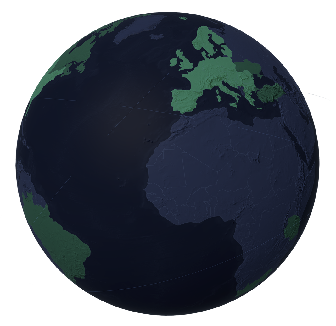
Base station density average of 50 km for high-end NRTK quality, on full GNSS for one reliable managed network.
Measured uptime since 2018, secured by our network orchestration tool and monitored around the clock.
Countries with active redundant survey-grade NRTK coverage operators tracked in Europe, US, Australia and beyond.
From account setup to the field
in minutes.
Select your plan.
Gain instant network access
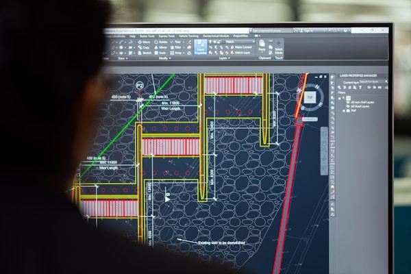
Your NTRIP credentials generate automatically.
Connect your rover.
Full compatibility with Gnss brands
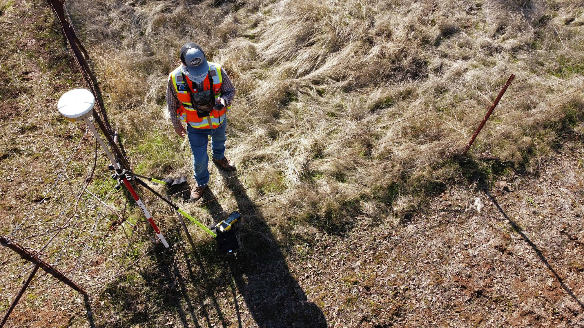
Enter access parameters directly into your field equipment.
Begin field operations.
With real-time data stream

Maintain stable centimeter corrections across borders without friction.
"Fantastic service, brilliant support and awesome company. You've been faultless since I signed up, very happy indeed! Best RTK ever! Package has been tailored to suit my needs."

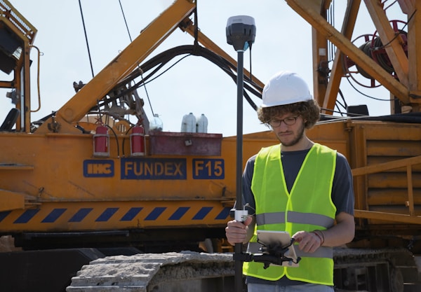
9.6/10
Average customer rating
Flexible tiers designed for your project pipeline.
Pay exclusively for the specific spatial accuracy your workload demands.
Your teams never stop to
check a quota
One line in the budget, whatever
the workload
Commit for a week or for three years
Scale each project independently
Pay only for the hours you work
No surprise on your invoice
Plan a full season ahead
No budget burnt during quiet months
One decision a year, no monthly admin

.png)
.png)
