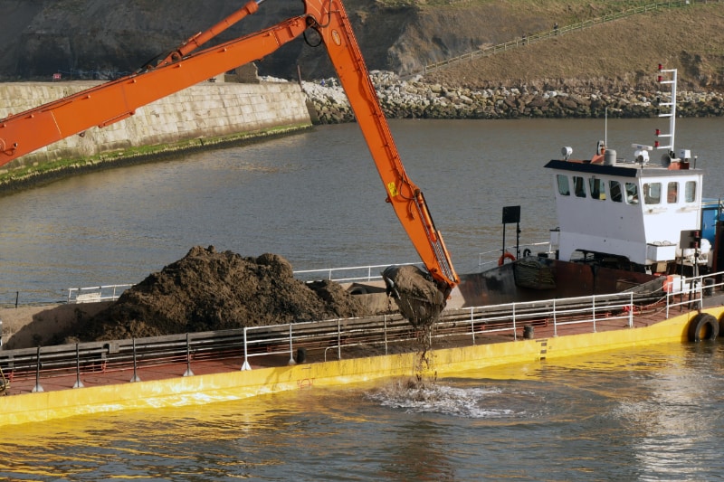
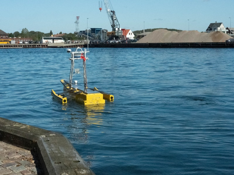
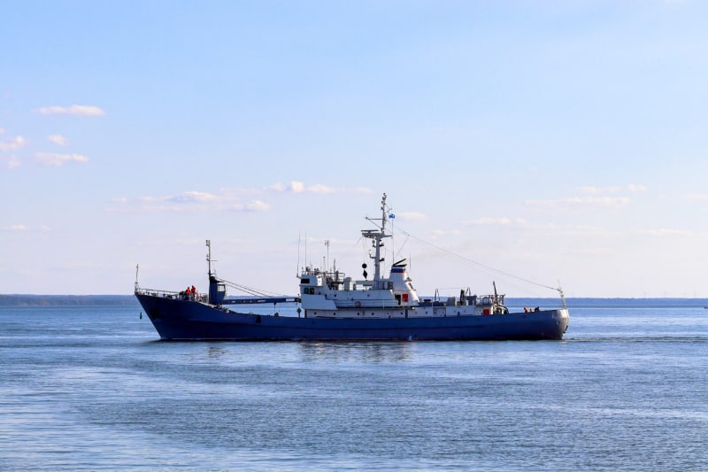
In marine applications, accurate positioning is essential for safe navigation and efficient operations. Premium Positioning’s RTK network provides the accuracy and dependability required for these tasks. Our network offers centimeter-level accuracy, allowing marine operators to navigate vessels with greater precision, perform dredging and underwater construction with greater efficiency, and map underwater terrain with greater detail. Our network is also highly scalable, making it suitable for a wide range of marine applications, from small recreational boats to large commercial vessels.
Navigating the Seas with Premium Positioning's RTK Network
Premium Positioning’s RTK network is a powerful solution for marine applications. Our network provides navigators with the accuracy and reliability needed to safely navigate vessels in even the most challenging environments. With our RTK network, navigators can precisely navigate vessels, perform dredging and underwater construction with greater accuracy, map underwater terrain with greater detail, and monitor ocean currents and tides with greater precision. Our network also offers user-friendly features such as real-time data visualization and remote support, making it a convenient and efficient solution for marine operators of all sizes.
When it comes to positioning data, we at Premium Positioning are aware of how important accuracy and dependability are. Because of this, our RTK network provides centimeter-level accuracy, enabling our users to make accurate operational decisions. Because of our network’s outstanding 99.9% uptime, consumers can always rely on their positional information. With over 1,000 base stations and 10,000 users across Europe, our network is also very expandable.
For organizations of all sizes, its user-friendly features, like real-time data visualization and remote help, make it a practical and effective option. Our RTK network offers the accuracy and dependability required for these industries to grow, making it suitable for precision agriculture, construction, and surveying applications, as well as other industries that require highly accurate positioning data such as mining, forestry, and transportation.
"Premium positioning enables us to make anyone survey border-free and with ease using our easy products"
"Our customized RTK Premium Europe Enterprise solution provides all our GPS and machine control systems throughout Europe, with centimeter accuracy (<1,5cm) and enables us to work fully independently using one simple account".
"RTK Premium perfectly suits our ‘Break New Ground’ ambition to provide a reliable and innovative technology solution from data collection to design on through to construction".
Our Success Stories
Boels Survey & Laser
Discover how Boels Survey & Laser optimised their processes during a rapid European expansion, and still offered high-quality products and services with our RTK Enterprise solution.
MarXact is a Dutch GNSS software and hardware manufacturer. DIscover how marXact integrated our RTK Premium network to deliver an all-in-one solution to their European customers.
Coptrz is the UK’s leader in drone solutions across Survey, Inspection and public safety industries. Discover how they integrated our RTK Network to save money, reduce risk and increasing business efficiency.
Learn how DTC enhanced their INSS-products, so customers could carry out international test drive campaigns more efficiently and more focussed in multiple European countries.